Mapping & Land Management
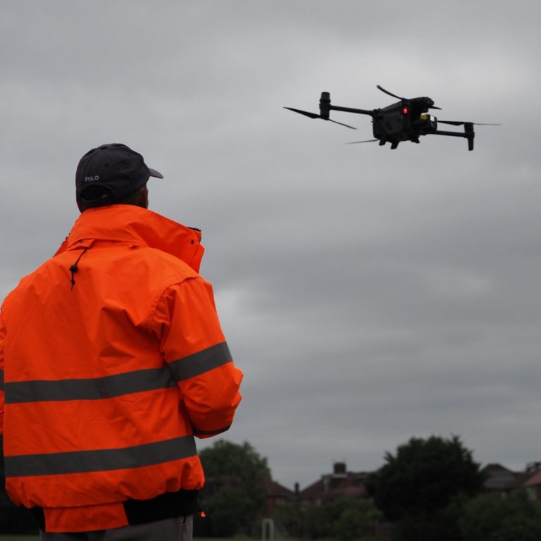
Drones are increasingly utilised for mapping and survey support across various industries, offering significant advantages in accuracy, efficiency, and cost-effectiveness. Here’s an overview of how our drones are used in mapping and surveying, along with their benefits and applications to land management:

Benefits
- High Accuracy: Our drones, equipped with GPS and advanced sensors provide precise data for mapping, often achieving centimetre-level accuracy.
- Speed: Our drones can cover large areas quickly, drastically reducing the time required for traditional surveying methods.
- Cost-Effective: Using our drones eliminates the need for expensive equipment like manned aircraft or extensive ground crews, making mapping results more affordable.
- Accessibility: Drones can reach difficult or hazardous areas that may be unsafe or impractical for ground surveys.
- Real-Time Data: Our drones can provide immediate data collection and processing, allowing for timely decision-making and project adjustments.

Applications
- Topographic Mapping: Our drones can create detailed topographic maps, providing elevation data for land use planning, construction, and environmental assessments.
- 3D Modelling: Our drones capture imagery to create 3D models of landscapes, buildings, and infrastructure, useful in architecture and urban planning.
- Construction Surveys: Our drones assist in monitoring construction progress, providing regular updates and ensuring projects stay on schedule.
- Land Use and Land Cover Mapping: Our drones can assess land use changes over time, helping with urban planning and environmental monitoring.
- Mining and Quarrying: Our drones can survey mining sites, providing data on stockpile volumes, site progress, and land reclamation efforts.
- Disaster Management: Our drones can quickly map affected areas after natural disasters, assisting in damage assessment and recovery planning.
- Infrastructure Inspections: Our drones can support the mapping and inspection of critical infrastructure such as bridges, roads, and utilities, enhancing maintenance planning.

Regulations & Considerations
- Compliance with Civil Aviation Authority regulations is essential when operating our drones for mapping and surveying.
- Engaging our trained operators and following safety protocols enhance data quality and operational safety.
By leveraging drones for mapping and surveying, organisations can achieve more accurate, efficient, and cost-effective results, ultimately improving project outcomes and decision-making processes.
We need your consent to load the translations
We use a third-party service to translate the website content that may collect data about your activity. Please review the details in the privacy policy and accept the service to view the translations.

